Latest News
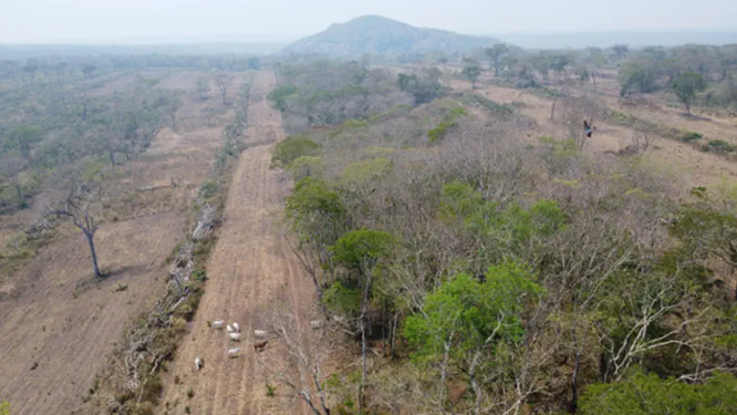
La pérdida de biodiversidad es una crisis mundial que amenaza el bienestar humano, y el principal motor de esta crisis es cómo realizamos el uso de la tierra. El impacto del uso de la tierra puede producirse en forma directa, por ejemplo a través de la destrucción o degradación del hábitat, o indirectamente, por ejemplo cuando áreas remotas se vuelven más accesibles a los cazadores. Por lo tanto, la planificación y las medidas de conservación destinadas a proteger la biodiversidad y la naturaleza deben tener en cuenta las numerosas amenazas asociadas al uso de la tierra.

Biodiversity loss is a global crisis threatening human well-being, and the main driver of this crisis is how we use land. The impact of land use happens directly, for example through the destruction or degradation of habitat, and indirectly, for example when remote areas become more accessible to hunters. Conservation planning and action with the aim to protect biodiversity and nature must therefore address the many threats associated with land use.
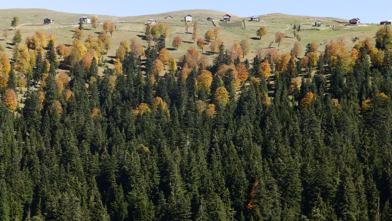
Using a combination of Landsat and GEDI data, we compared disturbance regimes and forest structures across three European mountain ranges. We found higher (and increasing) disturbances in the Alps and Carpathians, and much lower disturbance rates in the Caucasus. However, the three regions had remarkably similar forest structures, although partly driven by different social-ecological drivers, suggesting strong attractors of structure in temperate mountain forests.
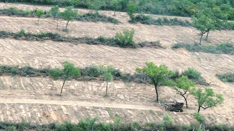
We map past and future land-system patterns in the Gran Chaco using scenarios based on policy narratives and agricultural expansion rates. We identify critical defor-estation hotspots and assess social-ecological impacts related to future land-system change. Urgent policy action is needed to mitigate adverse impacts, especially in areas following agribusiness-friendly pathways.

Land use is the major driver of the ongoing biodiversity crisis but is typically drastically simplified in conservation assessments. Similarly, land-use actors are among the people most heavily affected by conservation interventions but are often hardly considered in large-scale planning. To be more nuanced about land use in conservation, we identify land systems, focused on actors, that represent key threats and conservation opportunities. We involved 46 experts from various disciplines and regions of expertise across the tropical dry woodlands: the Argentine Gran Chaco dry forest, the Bolivian Chiquitano forest, the Mozambican Miombo-Mopane woodlands, the Indian Deccan dry forests, and the Cambodian dry forest.

A very warm welcome to Xiang Liu who joins us as a PostDoc! Over the next few years, he will evaluate rewilding prospects in aquatic and semiaquatic environments, focusing on changes in land use, plant biodiversity, and alterations at the land-water nexus. Xiang’s interests and expertise lie in using remote sensing technologies for ecological conservation and restoration.
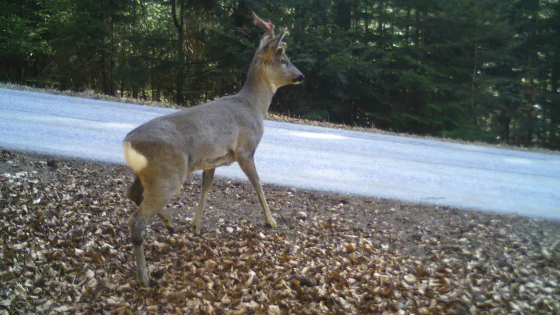
Do roads elicit similar responses across wildlife species? Our study shows that changes in movement and habitat selection in relation to roads are consistent among multiple wildlife species within the same area and are consistent with the avoidance of natural predation risk.
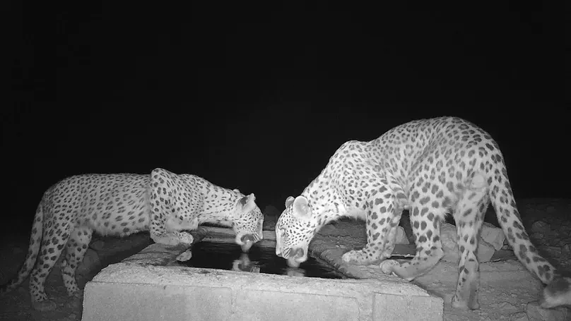
Promoting human-carnivore coexistence requires a better understanding of conflict cases. We used environmental and anthropogenic variables to predict the determinants of conflict risk by Persian leopards in southern Iran. Leopard habitat suitability and connectivity between core habitat patches are the most important factors to determine the conflict risk.
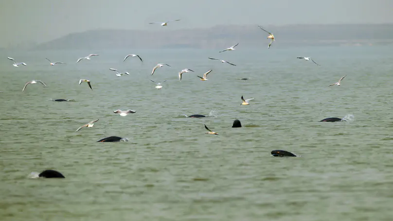
Freshwater megafauna (≥ 30 kg), such as sturgeons, large catfishes, crocodylians, giant turtles, river dolphins, and beavers, have experienced severe population declines and range contractions globally. Reinstating their populations holds the potential for restoring key ecological processes, in turn, promote overall biodiversity and enhance nature’s contributions to people.
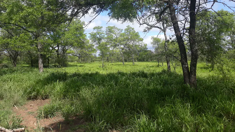
Major trade-offs between carbon storage and beef production emerge in ranching production in the Dry Chaco. Silvopasture management, with selective shrub controls, leaving big trees, is the key to reducing the trade-offs, conserving a considerable amount of woodland biomass, and producing the same or more beef than pastures without trees.