Research overview
Recognizing that land use is a major cause of biodiversity loss, as well as a potential solution for maintaining it, the Conservation Biogeography Lab carries out research on three overarching questions.
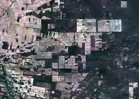
How do land systems change and why are land-use changes happening?
We map where and when land use is changing, we simulate land systems, and analyses why land-use changes are happening.
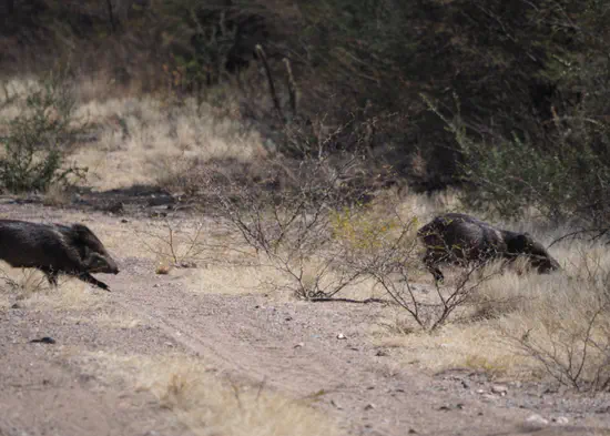
How is biodiversity in land systems impacted by human pressures?
We focus on understanding how biodiversity is affected by the various activities people carry out on land, such as agriculture, forestry or hunting.
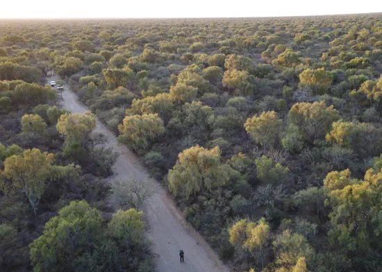
Which conservation strategies balance conservation and other land uses?
We analyze trade-offs between conservation and other land uses, seek for potential conservation strategies, and assess conservation effectiveness.
Research profile
Humankind is rapidly transforming the planet, with drastic consequences for natural ecosystems and their biodiversity
These transformations impact heavily on human well-being, both positively and negatively.
Land use is central in this context. It is essential for human societies, yet also is the driver of the massive transformation of the biosphere. Land-use change is currently the main cause of biodiversity loss and has large synergistic effects with other key drivers of the extinction crisis, such as overexploitation and climate change.
Land systems are in the centre of our research
Against this background, the Conservation Biogeography Lab strives to carry out cutting-edge, sound, and typically quantitative and spatially-explicit research to address these issues. A focus on land systems (i.e., social-ecological systems where land use is a key link between nature and people) enables us to put emphasis on the interactions between people and their environment, to explore dynamics in space and time, and to assess linkages and feedbacks across spatial scales. We are convinced that precisely these systemic aspects of land use are key for understanding land-system change, biodiversity loss, and what characterizes successful conservation interventions.
Our research approach brings together concepts and methodologies from geography, spatial ecology, social science, conservation planning, econometrics, and remote sensing
We collaborate intensively with researchers and science institutions worldwide, and we are active contributors to a range of international science networks such as FutureEarth’s Global Land Programme or different IUCN initiatives. We also strive to collaborate closely with local conservation organizations and stakeholders. We do this in the hope of producing a science basis that can inform policy making, conservation planning, and action to help navigate land systems towards sustainable futures.
Our geographic focus
Geographically, our work often focuses on regional scales. Current geographic focus regions of our work are tropical dry forests and savannas of South America and India, mountain systems in the Caucasus and Central Asia, as well as Central and Eastern Europe.
Active projects
If you are curious about a particular project, get in touch and let us know – we’re always happy to answer questions and explore possible new collaborations.
If you are interested in our past research projects, click here .
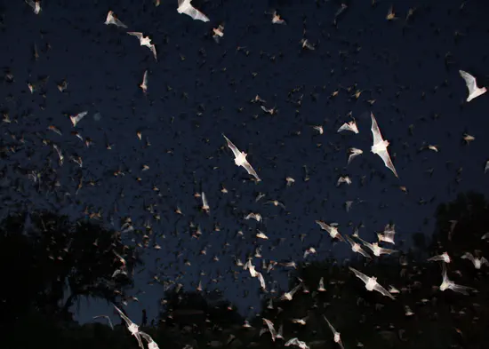
BeyondSpecies
Understanding the biogeography of bats in Central Asia
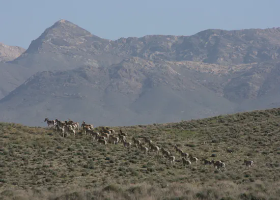
G4B - Grasslands for biodiversity
Protection of the biodiversity-rich grasslands and related management practices in the Alps and Carpathians
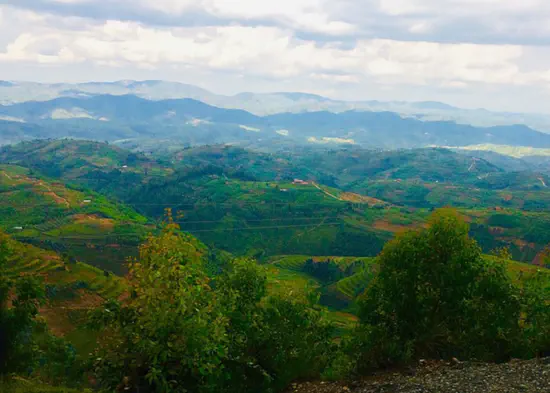
Restoration in Rwanda
Landscape context – landscape-scale restoration dynamics in western Rwanda
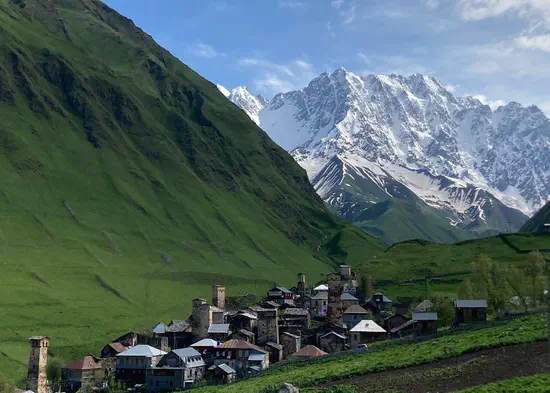
SoMo
A socio-ecological monitoring system for protecting large mammals in the southern Caucasus
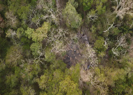
SystemShift
Shifting to a Land Systems Paradigm in Conservation
Go to project webpage
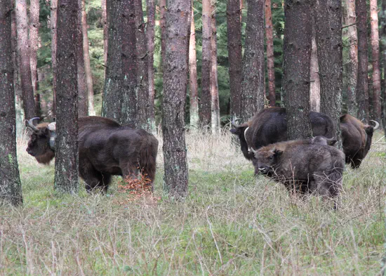
WildE
A European project to assess ecological restoration through rewilding. Go to project webpage