ReForCha

Continuous satellite-based indicators for mapping subtropical forest degradation
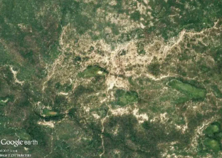
Using the Dry Chaco in Argentina as an example, we develop advanced remote sensing methods and indicators to map forest degradation, assess effects of forest dynamics on soil degradation and salinization, and evaluate forest protection policies.
More information